|
|
Building Footprints (2005)
Source: Redwood City GIS
Format: .shp (Shapefile)
Coordinate System: NAD 1983 State Plane CAIII (Feet)
Download Now
General Plan (2010)
Source: Redwood City GIS
Format: .shp (Shapefile)
Coordinate System: NAD 1983 State Plane CAIII (Feet)
Download Now
Zoning
Source: Redwood City GIS
Format: .shp (Shapefile)
Coordinate System: NAD 1983 State Plane CAIII (Feet)
Download Now
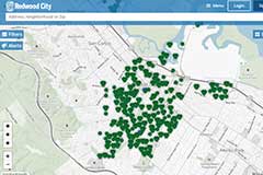 |
| Agency Counter Building Permits and Planning Projects |
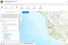 |
| County GIS |
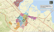 |
| Neighborhood Finder |
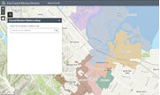 |
| Council Election Districts |
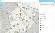 |
| Childcare Locations |

|
| Planning Projects |
| Projects being done by private developers and builders, and include residential, commercial, mixed-use, and other types of construction. |
|
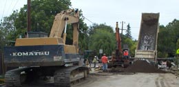
| Infrastructure Projects |
| Projects that Redwood City or its contractors are performing in support of our City’s infrastructure, including sewer, water, streets, parks, storm drains, and more. |


|
|
|
|
OK
|
| Save Current Map | |
|
|

